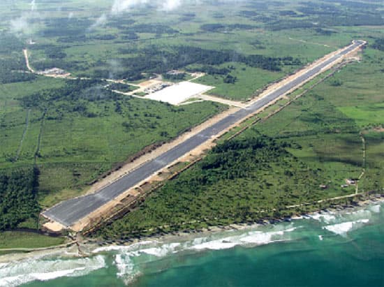
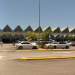
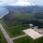
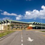
- Runway: 07/25, 9,843 feet (3,000 meters) long, Asphalt surface
- Communication Frequencies:
- Tower: 118.2 MHz
- Ground: 121.8 MHz
Location & QuickFacts
| Airport ICAO Code: | MDCY |
| Airport IATA Code: | AZS |
| Airport Type: | A – Civil |
| Longitude/Latitude: | W 069° 44′ 13.12″/N 19° 16′ 10.38″ -69.736978/19.269550 |
| Elevation: | 12 ft / 3.66 m |
| Location: | Samaná, Dominican Republic |
| Magnetic Variation: | W 10°53.0′ (2008-04) |
| Time Zone: | UTC-4 |
Airport Communications
| Type | Name | Freq 1 | Freq 2 | Freq 3 | Freq 4 | Freq 5 |
| Approach Control | SANTO DOMINGO APP | 124.3 M | 119.95 M | |||
| Automatic Terminal Information Service | ATIS | 132.65 M | ||||
| Ground Control | GND | 121.7 M | ||||
| Tower | TWR | 118.35 M | 122.2 M |
Runway Information
Runway 07/25
| Dimension: | 9843 x 147 ft / 3000.1 x 44.8 m | ||||||||||||||||||||||||||||||
|
|||||||||||||||||||||||||||||||
Remarks
- Customs/Immigration – Avbl
- Fuel – (NC-A1,100LL)
- Restricted – Lt tfc Rwy 25 proh.

